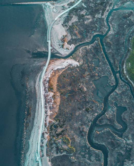
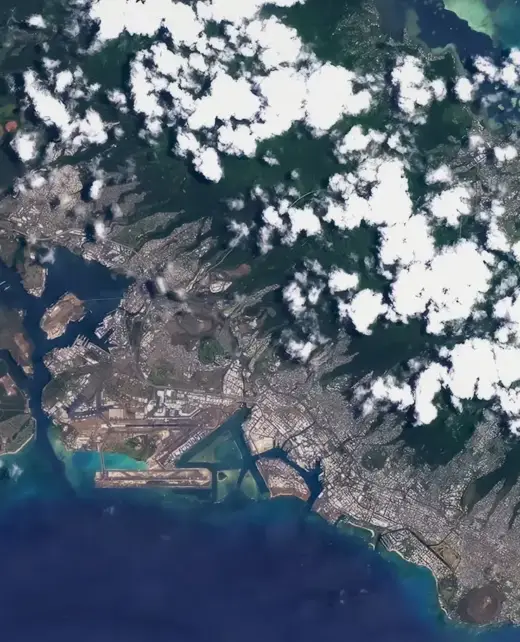
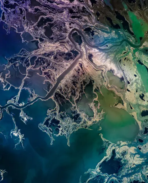
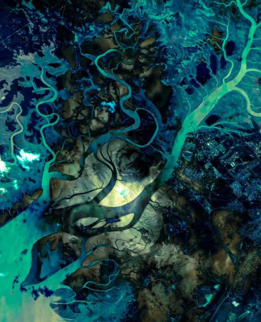
Access optical and SAR (Synthetic Aperture Radar) satellite imagery, two advanced technologies used for observing the Earth from space.. These tools enable informed decision-making, allow for quick and timely responses, and optimize resource utilization.
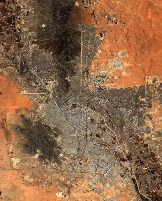
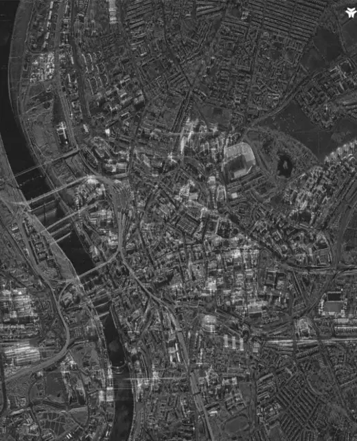
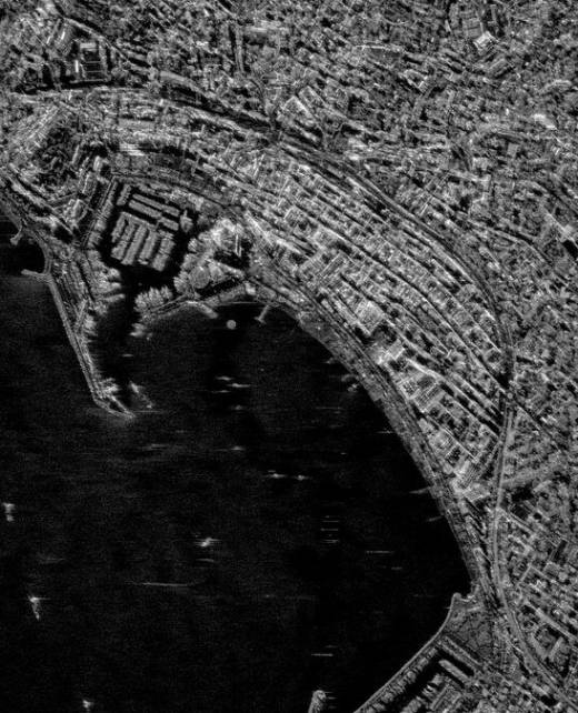
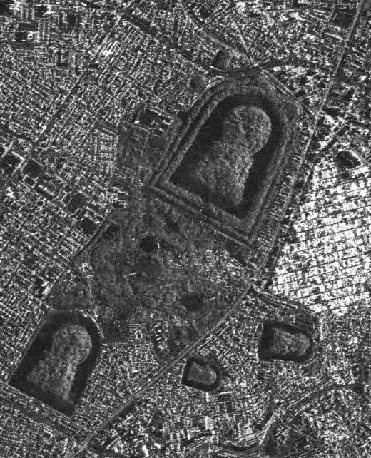
Optical Images
01. Capture of Visible Light
They produce images that faithfully reflect the Earth's surface, resembling photographs, which makes visual interpretation easier.
02. Compensation for Adverse Conditions
02. Compensation
Mechanisms
in Adverse Conditions
Our advanced mechanisms minimize the impact of clouds, smoke, snow, or fog, ensuring clear and useful images.
03. High Resolution
They provide resolutions of up to tens of centimeters, perfect for detailed analysis.
04. Versatile Applications
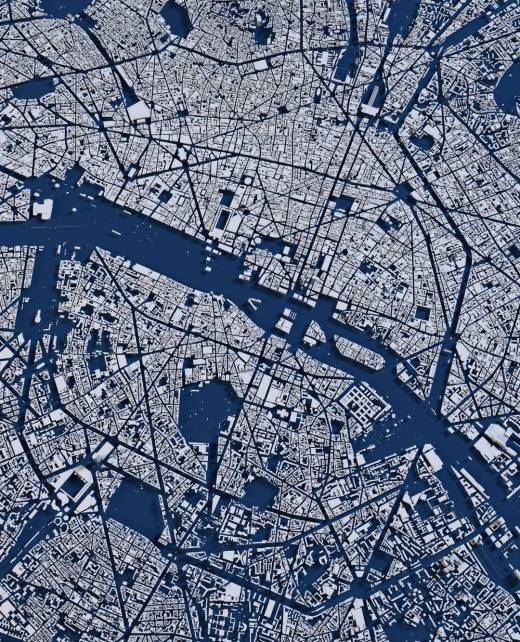
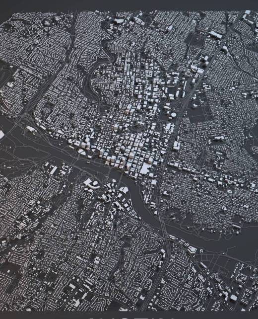
Ideal for land cover mapping, agriculture, and environmental monitoring, providing valuable insights for various industries.
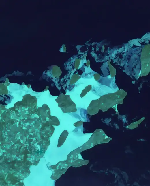
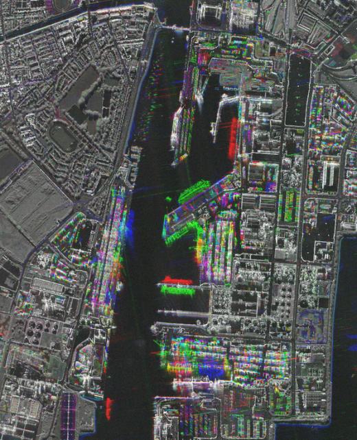
SAR Images
01. Advanced Radar Technology
01. Advanced Radar
Technology
Uses radar signals to illuminate the Earth's surface and capture the reflected signal, enabling precise observations under any weather conditions.
02. Day or Night Captures
02. Day or
Night Captures
These images can penetrate clouds and smoke, functioning efficiently both day and night.
03. Detailed Information
Provides data on surface roughness, moisture, structure, and elevation—essential for complex analyses.
04. Ideal for Emergencies
They are excellent for monitoring floods, oil spills, and changes in ice cover, ensuring you’re always one step ahead.
See Beyond the Visible. Request your satellite images today.