
Agriculture
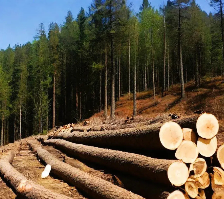
Forestry

Urbanism and territorial planning

Defense and security
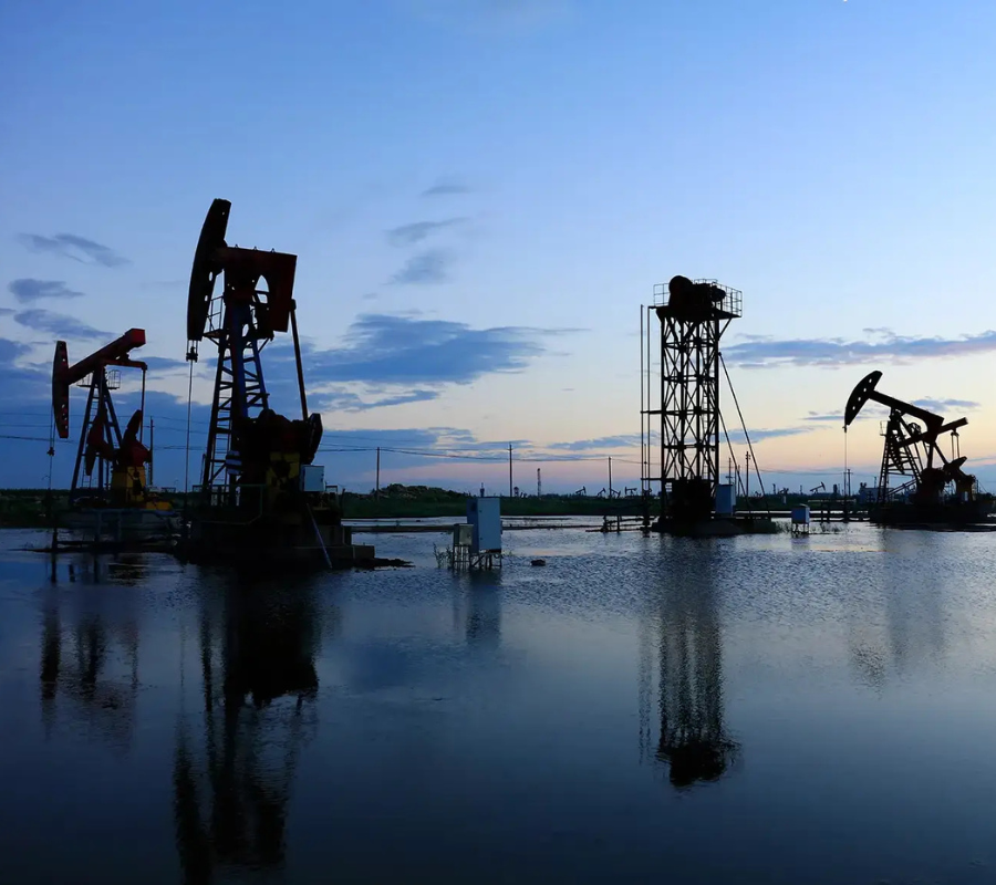
Oil and gas industry

Disaster management
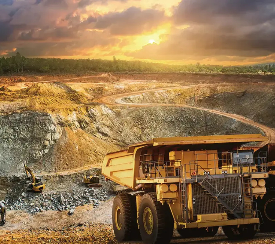
Mining

Oceanography

Hydrology
Agriculture
Forestry
Urbanism and territorial planning
Defense and security
Oil and gas industry
Disaster management
Mining
Oceanography