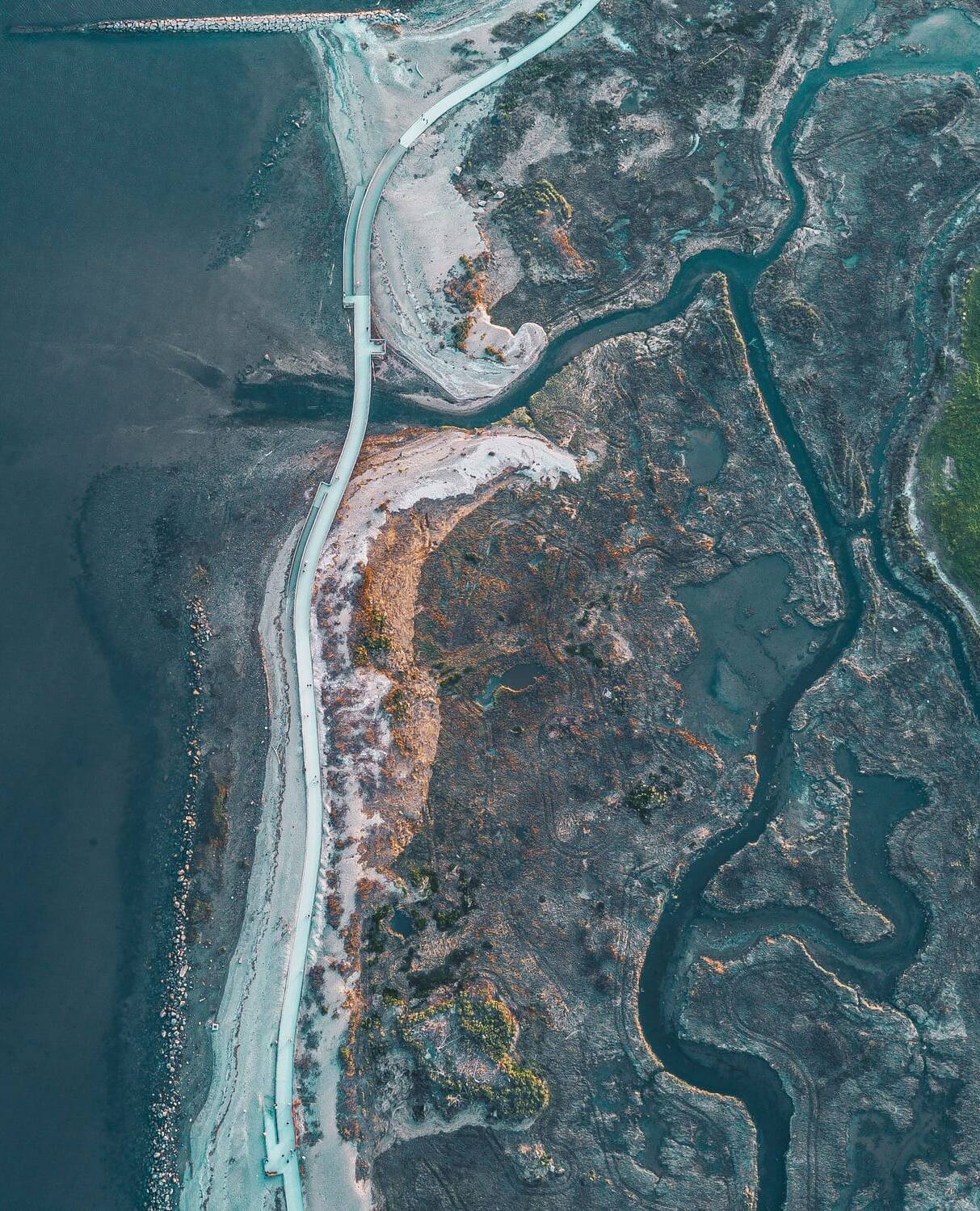
High-resolution satellite images
Accurate data for strategic decisions
In a world where information is crucial, SatelVista offers you high-resolution satellite images with near-instant updates.
Enhance your decision-making with accurate and timely data, tailored to meet the needs of the public sector, intelligence and security, as well as agriculture and the environment.

Our Company
With over 25 years of experience in developing and promoting satellite services across Latin America, we are a U.S.-based company at the forefront of high-precision satellite observation technology.
Through our close partnerships with leading satellite operators worldwide, we provide immediate access to advanced geospatial data. Our solutions are ideal for enhancing precision agriculture, monitoring infrastructure, anticipating the effects of climate change, identifying key targets, and responding effectively to disasters, among other applications.
Our innovative solutions deliver imagery and analysis in near real-time, enabling agile and accurate decision-making. Whether in the public or private sector, our tools ensure superior situational awareness, empowering you to manage critical operations and complex environments with the speed and precision necessary to stay ahead.
Services
Our flexible model covers the entire process, from gathering initial requirement to delivery according to agreed specifications. Additionally, we provide advanced processing and analysis to transform the collected images into valuable, actionable information.

Assessment
We meet with the client to understand their specific requirements, with the option to conduct demonstrations or use of archived images.

Planning
We coordinate and schedule image capture according to client requirements.

Image Acquisition
We acquire satellite images at the scheduled time or select from archived images.

Processing and Analysis
We apply specific corrections and algorithms to meet client requirements.

Quality Control
We verify the accuracy, coverage, and overall quality of the processed images and information.

Delivery
We transfer data and metadata through secure download platforms.

Post-sales Support
We provide technical assistance for the interpretation and use of images and platforms.

Assessment
We meet with the client to understand their specific requirements, with the option to conduct demonstrations or use of archived images.

Planning
We coordinate and schedule image capture according to client requirements.

Image Acquisition
We acquire satellite images at the scheduled time or select from archived images.

Processing and Analysis
We apply specific corrections and algorithms to meet client requirements.

Quality Control
We verify the accuracy, coverage, and overall quality of the processed images and information.

Delivery
We transfer data and metadata through secure download platforms.

Post-sales Support
We provide technical assistance for the interpretation and use of images and platforms.
Contact Us
Transform your needs into effective satellite imagery. If you have any questions, need more information, or wish to explore a specific project, we are here to help! Feel free to contact us.
Please fill out the form below and let us know how we can meet your imagery needs.

